Geography is the effort to know the earth, its climates, its roads and its peoples. Throughout history, the famous geographers who shaped this field drew maps, traveled to distant lands and set down their observations in books. In this article we introduce, with reference to the sources, the important names from Ptolemy to Piri Reis and from Ibn Battuta to Evliya Çelebi, along with Ottoman cartography.
Quick Summary
- Ptolemy’s work, with its lists of latitudes and longitudes, remained the basic reference for centuries.
- Al-Idrisi completed a comprehensive description of the world for the king of Sicily in January 1154.
- Ibn Battuta dictated his travels of more than twenty-eight years to the scribe Ibn Juzayy.
- Piri Reis’s map of 1513 also shows the eastern coasts of America.
- Katib Çelebi wrote the Cihannüma, drawing on Western sources as well.
Contents
- Famous names
- Antiquity: Ptolemy and Strabo
- The Islamic world: al-Idrisi and Ibn Battuta
- Ottoman cartographers and travelers
- The Age of Discovery: Marco Polo and Columbus
- Their contributions to science
- Frequently asked questions
Who Are the Famous Geographers?
The famous geographers who stand out in this field come from different ages and civilizations. In antiquity, Ptolemy and Strabo described the world in their books. In the Islamic world, al-Idrisi became known for his maps and Ibn Battuta for his travels. In the Ottoman Empire, Piri Reis, Evliya Çelebi and Katib Çelebi came to the fore. In Europe, Marco Polo and Columbus expanded the limits of the known world.
Who Were the Great Names of Antiquity?
Ptolemy
Ptolemy (Ptolemaios) was an astronomer and geographer who lived in Alexandria in the second century. According to the TDV Encyclopedia of Islam, he is the person most often mentioned in the history of science after Aristotle. According to the encyclopedia, his work, also known as the Geographike Hyphegesis, or “guide to geography,” consists of seven or eight parts. It gives information on mapmaking and the latitudes and longitudes of important places in Asia, Europe and Africa.
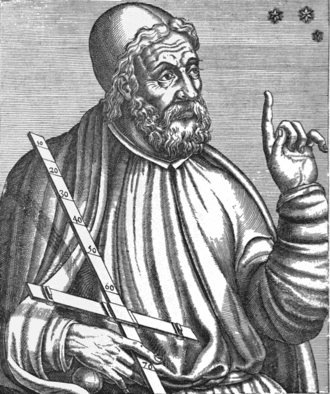
According to the encyclopedia, Ptolemy’s geocentric view of the universe kept its influence until Copernicus and Kepler. From Copernicus onward this view lost its validity in the face of the heliocentric model. Cartographers in the Islamic world also drew extensively on his work.
Strabo
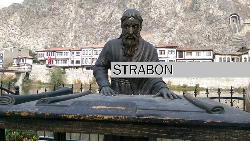
Strabo, another of the famous geographers of antiquity, was an author born in present-day Amasya. He is believed to have been born around 64 BC and to have died in the 20s AD. In his seventeen-book Geographika (Geography), he described the countries, cities and peoples of the Mediterranean world. His detailed description of his native Amasya and of Anatolia also makes the work valuable for the history of Anatolia.
The Islamic World: Al-Idrisi and Ibn Battuta
Al-Idrisi
According to the TDV Encyclopedia of Islam, al-Idrisi, one of the famous geographers of the Islamic world, was born in Ceuta in 1100 and completed his education in Córdoba. After long travels he entered the service of King Roger II of Sicily and settled in Palermo. According to the encyclopedia, he owes his real fame to his work Nuzhat al-mushtaq, completed in January 1154. The work is arranged according to seven climes, each clime divided into ten sections, and furnished with maps.
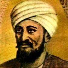
According to the encyclopedia, al-Idrisi drew on Ptolemy’s work but made important changes to his maps. The Nuzhat al-mushtaq is regarded as the first work to give information about Europe that comes closest to reality. In this work the maps of the countries of Western Europe were also drawn, for the first time in history, quite close to their true shape. The encyclopedia also notes that geography and botany were not much in demand in his time.
Ibn Battuta
According to the encyclopedia, Ibn Battuta was born on 24 February 1304 in Tangier, Morocco. When he was only twenty-two, on 14 June 1325, he set out with the intention of making the pilgrimage. According to the encyclopedia, he dictated his travels of more than twenty-eight years to the scribe Ibn Juzayy al-Kalbi, and this is how the work known as the Rihla came into being. During his travels he also toured Anatolia and left valuable information about the ahis.
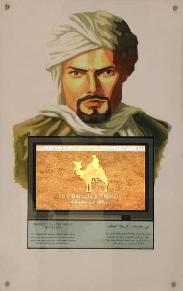
His knowledge of Turkish and Persian also earned him diplomatic missions during his journeys. According to the encyclopedia, he served as a kadı in many countries and died while kadı of Tamesna.
Ottoman Cartographers and Travelers
Piri Reis
Piri Reis, one of the famous geographers of the Ottoman period, was born around 1470 in Gelibolu, according to the TDV Encyclopedia of Islam. He took part in naval expeditions in the Mediterranean with his uncle Kemal Reis and later entered state service. His world map of 1513, drawn in Gelibolu, shows Spain, Portugal, the coasts of West Africa and the eastern coasts of America. According to the encyclopedia, the map’s sources were old maps that had reached him from East and West and the map of Christopher Columbus. Piri Reis presented this map to Selim I in Cairo in 1517.
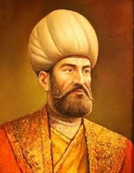
According to the encyclopedia, the Kitab-ı Bahriye is a nautical guide that describes the Mediterranean coasts in detail. Piri Reis presented the second version of the work in 1526, and his second world map in 1528, to Suleiman the Magnificent. According to the encyclopedia, in May 1552 he led a fleet of thirty ships against the Portuguese base at Hormuz. Because of the accusations made against him, he was probably executed in Egypt at the end of 1553. We discussed the maritime setting of the period in our article on the Ottoman Empire under Suleiman the Magnificent.
Seydi Ali Reis and Matrakçı Nasuh
According to the encyclopedia, Seydi Ali Reis took over a fleet of fifteen ships in Basra in February 1554. In July he set out for Suez, but the Portuguese fleet and storms drove him to the coasts of Gujarat in India. He described his return overland in his work Mir’at al-mamalik. His work Muhit was prepared so that captains could find their way in the Indian seas without a pilot.
Matrakçı Nasuh drew miniatures of the halting places of Suleiman’s Iranian campaign of 1533–1536. According to the encyclopedia, the work depicts the stations from Istanbul to Tabriz, from there to Baghdad and back to Istanbul. The work is known today as the Beyan-ı Menazil-i Sefer-i Irakeyn.
Evliya Çelebi
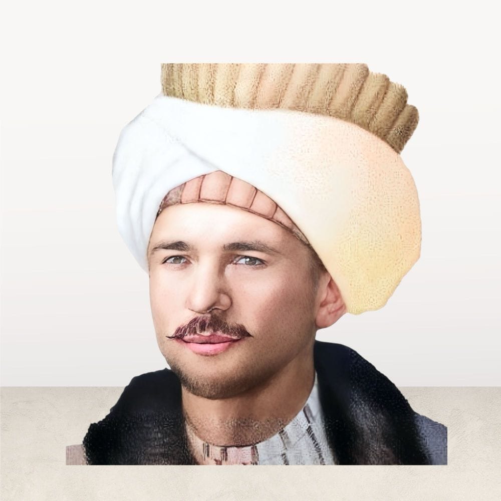
According to the TDV Encyclopedia of Islam, Evliya Çelebi was born on 25 March 1611 in Unkapanı, Istanbul. His father, Derviş Mehmed Zılli, was the palace’s chief goldsmith. According to the encyclopedia, his ten-volume Seyahatname, which describes the places he visited and the events he witnessed, is an important corpus for Turkish cultural history. Because the last volume was left unfinished, it is assumed that he died before he could complete the work.
According to the encyclopedia, in August 1648 he went to Damascus with Murtaza Pasha, who had been appointed beylerbeyi there. From there he toured many cities of Syria and Palestine on official business. He then traveled through the cities of Central and Eastern Anatolia by way of Sivas and returned to Istanbul.
Katib Çelebi
Katib Çelebi (1609–1657) was one of the most versatile Ottoman scholars and one of the famous geographers of his century. According to the encyclopedia, believing that Westerners were ahead of Islamic scholars in this field, he decided to write the Cihannüma. With the help of Mehmed İhlasi he translated Mercator and Hondius’s Atlas Minor from Latin. His real aim was to obtain sources for the European section of the Cihannüma. The Cihannüma, which the encyclopedia calls his “famous work on geography,” was printed in Istanbul in 1732.
According to the encyclopedia, Katib Çelebi was perhaps the first Ottoman to consult Western sources. In 1630 he took part in the Hamadan and Baghdad campaigns in the retinue of Hüsrev Pasha. He described the fortresses and halting places he saw on these campaigns in the Cihannüma. He died in Istanbul on 6 October 1657.
The Age of Discovery: Marco Polo and Columbus
Marco Polo
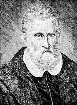
Marco Polo (1254–1324) was a Venetian merchant and traveler. He went to Asia with his father and uncle and spent many years in the service of the Mongol ruler Kublai Khan. After returning to Venice he was taken prisoner by the Genoese. He told the story of his travels to Rustichello da Pisa, whom he met in prison, and this is how his famous travel account came into being.
Christopher Columbus
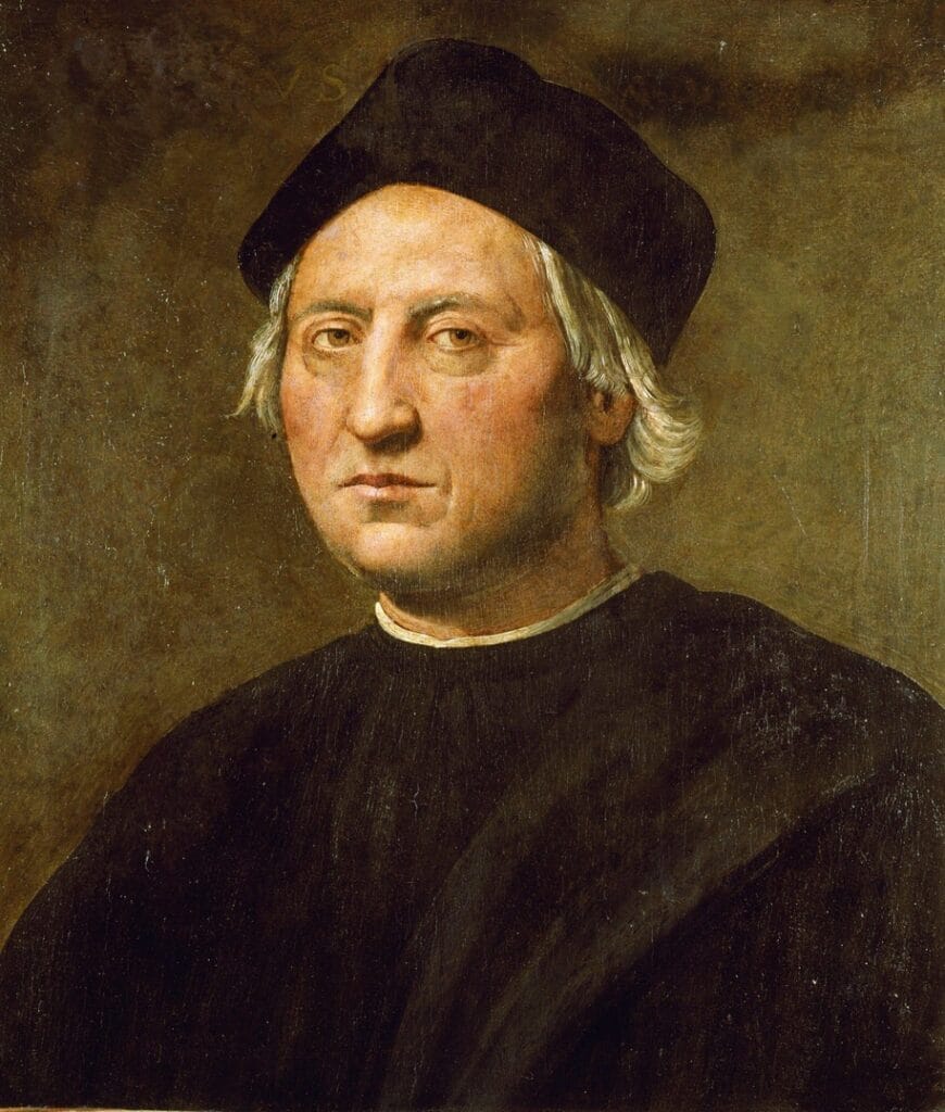
Christopher Columbus was a Genoese sailor who crossed the Atlantic Ocean on behalf of the Spanish monarchs. In October 1492 he reached one of the Bahama islands. Columbus believed he had reached Asia; his voyage, however, marked the beginning of Europeans’ acquaintance with the American continent. According to the encyclopedia, his map is among the sources of Piri Reis’s map of 1513. We described the consequences of the discoveries in our article on the impact of the geographical discoveries on the Ottomans.
What Did the Famous Geographers Contribute to Science?
The work of these famous geographers directly influenced cartography, seafaring and trade. Lists of latitudes and longitudes made it possible to show the positions of cities more accurately. The books of the travelers, meanwhile, introduced the peoples, customs and beliefs of distant lands. Ottoman cartographers, too, produced original works by combining Eastern and Western sources. We discussed the period in which Piri Reis presented his map in our article on the reign of Selim I.
Frequently Asked Questions
What is the name of Ptolemy’s geography book?
The work is known as the Geographike Hyphegesis. In Islamic sources it is called the Kitab al-Jughrafiya.
Who is the most famous Ottoman geographer?
Among the famous geographers of the Ottoman period, Piri Reis, for his maps, and Katib Çelebi, for his works, are the most frequently mentioned names. Evliya Çelebi also made a great contribution to the field with his Seyahatname.
How many years did Ibn Battuta travel?
According to the TDV Encyclopedia of Islam, his travels lasted, with short breaks, more than twenty-eight years. He dictated them to the scribe Ibn Juzayy al-Kalbi.
Why is the Piri Reis map important?
It is an early world map showing the eastern coasts of America. Its sources include the map of Columbus.
Conclusion
The famous geographers are the pioneers of humanity’s journey to know the world. Ptolemy’s coordinate lists, al-Idrisi’s maps and Ibn Battuta’s observations formed the basis of this knowledge. Piri Reis, Evliya Çelebi and Katib Çelebi represent the original contributions the Ottomans made to this accumulated knowledge. This legacy in the field of geography also forms the background of today’s maps and travel books.
Sources
- TDV Encyclopedia of Islam, entry “Batlamyus” (Ptolemy)
- TDV Encyclopedia of Islam, entry “İdrîsî, Şerîf”
- TDV Encyclopedia of Islam, entry “İbn Battûta”
- TDV Encyclopedia of Islam, entry “Pîrî Reis”
- TDV Encyclopedia of Islam, entry “Seydi Ali Reis”
- TDV Encyclopedia of Islam, entry “Matrakçı Nasuh”
- TDV Encyclopedia of Islam, entry “Evliya Çelebi”
- TDV Encyclopedia of Islam, entry “Kâtib Çelebi”