Throughout history, people have wanted to understand their surroundings and explore distant regions. This curiosity gave rise to cartography. As trade routes developed, sea voyages increased, and new regions were discovered, maps gained great importance.
The question of “who drew the first world map”, frequently encountered in history lessons, can vary depending on the period in question. Although the earliest map examples in world history date back to the Babylonians, when it comes to the most important world map in Turkish history, Piri Reis generally comes to mind.
What Is the First World Map?
The first world map refers to ancient maps showing the geographic regions known to people at the time. Ancient societies tried to understand their surroundings by drawing the regions in which they lived.
In these early maps:
- Continents were not fully known
- Oceans were depicted incompletely
- Mythological information could be found
- Cities were considered the center
Cartography developed over time and became more accurate.
The Babylonian World Map
The Babylonian world map is among the oldest known map examples. Known as the “Imago Mundi,” the Babylonian map was drawn on a clay tablet.
In this map:
- Babylon was shown at the center
- The world was depicted as a flat area
- It was believed to be surrounded by water
This work is of great importance for the study of ancient cartography.
The Turkish Scholar Who Drew the First World Map
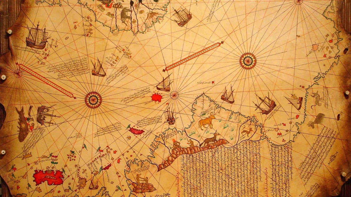
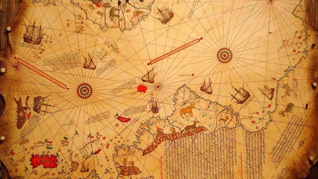
The most famous world map in Turkish history is known as the Piri Reis Map.
Piri Reis became one of the most noteworthy navigators in history with the world map he drew in 1513.
This map includes:
- The coasts of Europe
- The western coast of Africa
- Some regions of South America
The Piri Reis map is considered one of the most important nautical works of its time.
Who Was Piri Reis?
Piri Reis was an Ottoman navigator and cartographer. His real name was Muhiddin Piri Bey.
Piri Reis:
- Served in the Ottoman navy
- Gathered nautical information
- Prepared maps
- Wrote the work titled Kitab-ı Bahriye (Book of Navigation)
His work in cartography has gone down in world history.
Features of the Piri Reis Map
The Piri Reis Map is quite remarkable for the period in which it was drawn.
Among the features of the map are:
- The depiction of maritime routes
- Detailed drawing of coastlines
- The use of older sources
- The incorporation of geographical knowledge
Only a portion of the map has survived to the present day.
The Historical Development of Cartography
The history of cartography has evolved from ancient times to the present.
During this process:
- The Babylonians drew the first maps
- The Greeks studied the shape of the Earth
- Muslim scholars advanced geographical knowledge
- Navigators mapped new continents
With advances in technology, maps became increasingly accurate.
Who Does the First World Map Belong To?
Different answers are given to the question of who the first world map belongs to.
The earliest examples of world maps from antiquity are attributed to the Babylonians. The most important world map in Turkish and Ottoman history, on the other hand, was prepared by Piri Reis.
For this reason, the question is sometimes evaluated differently in history lessons depending on the context.
Piri Reis’s Contributions to Science
Piri Reis’s contributions are not limited to cartography alone.
Piri Reis:
- Advanced knowledge of navigation
- Contributed to Ottoman seafaring
- Furthered geographical studies
- Recorded maritime routes
For this reason, he is regarded as one of the important cartographers in world history.
You may also be interested in our article titled What Is the Reform Edict? The Debate on Equality in the Ottoman Empire and Its Effects.
Who Drew the First World Map?
Among those credited with drawing the first world map, the Babylonians produced the earliest known examples, while the most important name in Turkish history is known to be Piri Reis. In particular, the world map he prepared in 1513 stands among the most significant works of Ottoman cartography.
Thanks to the development of cartography, people discovered new regions and gained more accurate knowledge about the world.